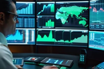
I spent nine years in the dust of South Sudan and the DRC, where “monitoring” usually meant a frantic radio call to see if a driver had been hijacked or if a bridge had washed out. Nowadays, the headquarters in Geneva or London love to talk about high-tech dashboards and satellite imagery as the definitive answer to how aid is monitored remotely. They treat these digital tools like a magic wand that replaces presence on the ground. But let me tell you something: a colorful heatmap on a screen doesn’t tell you if the grain is actually in the warehouse or if it’s sitting in a local official’s private yard. Data is not delivery.
I’m not here to sell you on the latest software or the buzzwords used in donor reports. My goal is to pull back the curtain on the actual mechanics of remote oversight—the gaps, the glitches, and the way people try to game the system. I will show you what it looks like when the digital trail meets the unpredictable reality of a broken supply chain. We aren’t looking for perfect spreadsheets; we are looking for the truth of the cargo.
Table of Contents
Satellite Imagery for Humanitarian Aid Seeing the Dust Rise

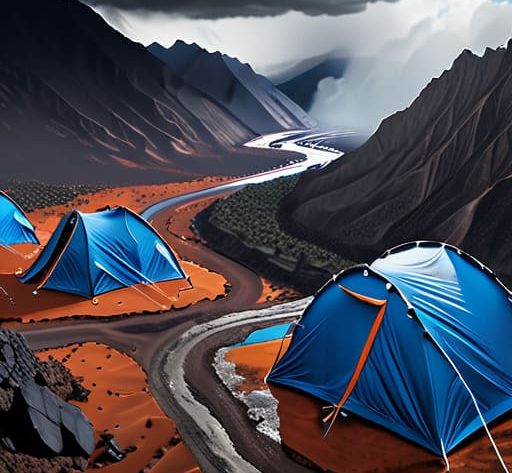
Satellite imagery for humanitarian aid is often pitched as a panacea, a way to watch progress from a clean office in Geneva. In theory, it’s elegant: high-resolution sensors capture changes in land use or the sudden appearance of makeshift settlements. But when I was managing convoys in South Sudan, the view from thirty thousand kilometers up felt disconnected from the reality of the mud. You can see a cluster of tents on a screen, but the image doesn’t tell you if the grain inside those tents is actually the grade promised in the manifest, or if it’s been swapped for sand.
We are seeing more remote sensing technology in relief efforts being integrated into standard operating procedures, which is a step forward. It’s useful for mapping flood zones or tracking the slow creep of displacement, providing a layer of unbiased spatial data that ground teams might be too exhausted or too compromised to report accurately. However, a satellite can see the dust rise from a convoy, but it can’t hear the driver negotiating a bribe at a checkpoint. It provides the “where,” but it rarely provides the “how” or the “what.” For me, the data is only as good as the physical cargo it represents.
Remote Sensing Technology in Relief Efforts Eyes From Above
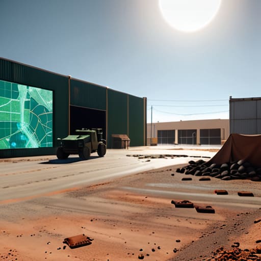
The problem with remote sensing technology in relief efforts is that it can create a dangerous sense of certainty. I’ve seen headquarters in Geneva stare at high-resolution maps and assume a warehouse is stocked because the roof looks intact and the perimeter is clear. But a map doesn’t tell you if the fuel pump is broken or if the local militia has set up a checkpoint three kilometers down the road. You can have the most sophisticated remote sensing technology in relief efforts, but if it isn’t paired with ground-truth verification, you’re just looking at a very expensive picture of a problem you can’t solve.
We are seeing more talk about digital verification of aid delivery through automated systems, and while the tech is impressive, it often misses the nuance of the “last mile.” A sensor might ping that a container has reached a GPS coordinate, but it won’t tell you if that container was emptied into a ditch or diverted to a local market. We need to stop treating these data streams as absolute truth and start treating them as what they actually are: unreliable proxies for the physical reality of a supply chain. The data is a starting point, not the conclusion.
The Gap Between Data and Delivery
A satellite image can show you a warehouse standing intact in a conflict zone, but it won’t tell you if the driver actually turned the key or if the fuel was siphoned off halfway through the transit. Remote monitoring gives us the map, but it doesn’t give us the truth; the truth is only found in the arrival of the cargo.
Yusuf Lindqvist
The Ground Reality
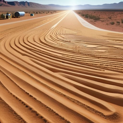
Remote monitoring—whether it is high-resolution satellite imagery or real-time GPS pings from a fleet of trucks—has fundamentally changed how we verify movement in zones where we can no longer physically stand. We can see the displacement camps growing in the desert and we can track the movement of grain shipments across borders without needing a local staff member to risk their life on a dusty road. But we have to be careful not to mistake a digital signal for a completed task. A satellite can confirm a warehouse exists, and a sensor can confirm a truck is moving, but data is not the same as delivery. The tech provides the visibility, but it doesn’t replace the hard logistics of ensuring that the cargo actually reaches the hands that need it.
At the end of the day, my old cargo manifests taught me that the most sophisticated tech in the world is just a way to reduce uncertainty. We use these tools to bridge the gap between a donor’s check and a person’s survival, but we must never let the sophistication of the interface mask the simplicity of our mission. The goal isn’t to have the cleanest dashboard or the most impressive heat maps; the goal is to ensure that when the aid is sent, it doesn’t vanish into a black hole of bureaucracy or broken roads. We keep looking at the screens, but we keep our eyes on the arrival of the lorry.