I spent a decade watching NGOs pour millions into high-resolution data suites, convinced that seeing a pixelated village from space was the same as helping it. It isn’t. There is a massive, expensive gap between seeing a flood on a screen and actually getting a truck through the mud to reach the survivors. People love to talk about the ethics of data, but they rarely discuss the practical reality of how to use satellite imagery responsibly when the goal isn’t just a pretty map, but a functional supply chain. If the imagery doesn’t translate into a deliverable action, it’s just expensive wallpaper.
I’m not here to give you a lecture on digital ethics or theoretical frameworks. I’ve spent enough time in transit hubs and dusty warehouses to know that data is only as good as the logistics it informs. In this post, I’m going to cut through the tech-sector hype and show you how to bridge that gap. I will provide a blueprint for using these tools to drive actual movement on the ground, ensuring that your intelligence leads to a lorry arriving, not just a report being filed.
Table of Contents
Navigating the Privacy Implications of Remote Sensing

I’ve seen enough “unprecedented visibility” to know that more data doesn’t always mean better aid. When we talk about the privacy implications of remote sensing, the conversation usually stays at a high level of abstraction. But on the ground, it’s much more granular. If a high-resolution pass can identify a specific household’s water collection point or a makeshift shelter in a displacement camp, that data becomes a liability. You aren’t just looking at pixels; you are looking at people who have very little control over how that information is weaponized or sold.
The real tension lies in the gap between capability and consequence. We often push for higher-fidelity imagery to prove a point to donors, but we rarely discuss data sovereignty in satellite monitoring. Just because we can see it doesn’t mean the community being watched has consented to being a data point in someone else’s spreadsheet. We need to move toward ethical geospatial data practices that prioritize the safety of the subject over the clarity of the image. If the resolution is high enough to track a person’s movement but the security protocol to protect that identity is non-existent, then we haven’t actually solved a problem—we’ve just created a new vulnerability.
Respecting Data Sovereignty in Satellite Monitoring
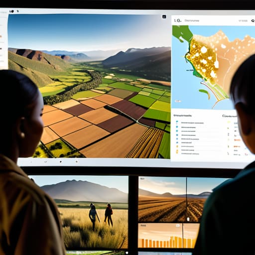
I’ve seen too many projects where the “solution” is beamed down from a satellite owned by a company three time zones away, without a single local stakeholder being asked for permission. It’s a form of digital colonialism. We talk about empowerment, but if the community being monitored has zero control over how their land or movements are mapped, we aren’t helping; we’re just observing them like specimens. Real data sovereignty in satellite monitoring means the people on the ground should have a say in how their spatial footprint is used, rather than being treated as mere coordinates on a dashboard in Geneva or DC.
When we implement ethical geospatial data practices, we have to acknowledge that information is power. If a high-resolution image shows a new settlement or a shifting crop pattern, that data can be a lifeline for aid, but it can also be a roadmap for actors looking to displace people. It isn’t enough to just collect the pixels. We need to ensure that the ownership and the right to interpret that data remains, as much as possible, with the people it actually depicts. If the data doesn’t serve the local context, it’s just another cargo that never reaches its destination.
The gap between pixels and people
You can spend millions on high-resolution imagery to track a drought, but if that data stays locked in a server in Geneva while the local drivers are stuck at a checkpoint, you haven’t solved anything; you’ve just mapped a catastrophe more clearly.
Yusuf Lindqvist
The Bottom Line
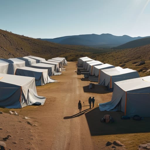
At the end of the day, satellite imagery isn’t a magic wand; it is just another tool in a very heavy kit. We have discussed the necessity of protecting individual privacy and the non-negotiable requirement of respecting data sovereignty. If we use high-resolution sensors to monitor a crisis without involving the people living through it, we aren’t practicing humanitarianism—we are practicing surveillance. You can have the clearest view of a displacement camp from orbit, but if that data is extracted without consent or used to bypass local authorities, the entire exercise fails the most basic test of operational integrity.
I spent years watching trucks get stuck in mud that no map could accurately predict. The lesson was always the same: technology only matters if it serves the person waiting at the end of the supply chain. As we integrate remote sensing into our workflows, let’s stop obsessing over the resolution of the pixels and start focusing on the utility of the truth. If the data doesn’t help a driver find a route or a medic find a clinic, it is just expensive noise. Use the imagery to bridge the gap between the map and the ground, because the mission only succeeds when the information actually lands.